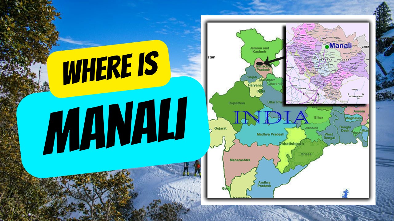
Where is Manali? If you don’t know where is Manali, then this page will give you it’s detailed whereabout.
Manali is one of the most popular hill stations situated at the northern end of the Kullu Valley in Himachal Pradesh, India. The town is located at a height of 6,398 ft. It is at a distance of 250 kilometers from Shimla, the capital of Himachal Pradesh.
Geographical coordinates of Manali
Latitude of Manali: 32.153198′ N, Longitude of Manali: 77.168180′ E
Region: Himachal Pradesh, India
Height: 6,398 feet/ 2050 meters
Population of Manali is about 30, 000
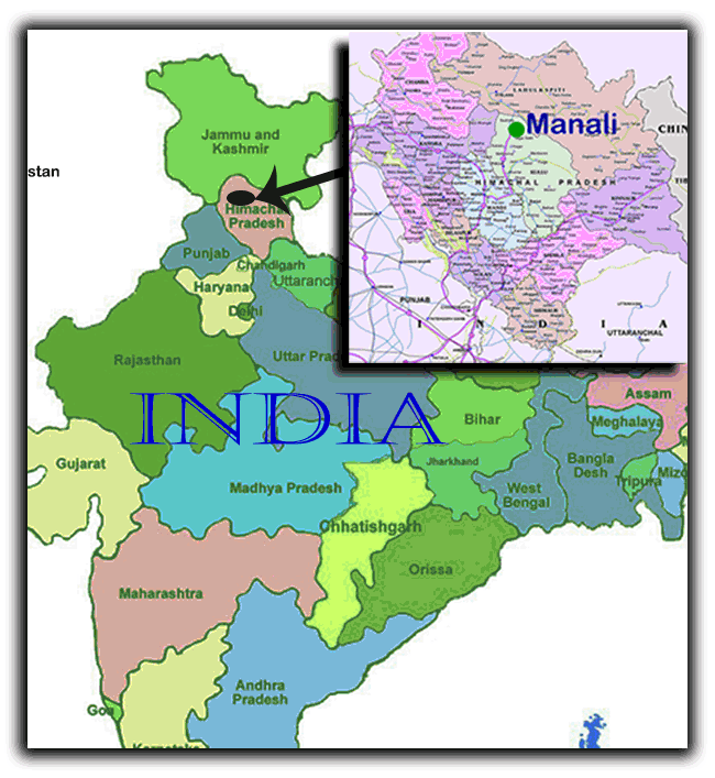
Location of Manali using Global Services to find where is Manali and the distance between Manali, Bharmour and other tourist destinations of Himachal Pradesh and India
Map of India Showing where is Manali in Himachal Pradesh, India
Locations in Manali:
There are many locations in Manali which are very popular among the tourists.
Nehru Kund:
This beautiful clear water spring has been named after the late Prime Minister of India, Pt. Jawahar Lal Nehru. It is located at a distance of 6 kilometres from Manali town on Keylong Road.
Vashisth Village:
This small village is at a distance of just 3 kilometers from Manali and is known for its hot water springs, traditional houses made of timber etc.
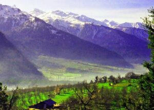
Breathtaking scenic beauty and spectacular view of the surroundings are the main draws of Manali. Gardens and apple orchards add to the scenic appeal of this hill station, and it is also a very popular destination for winter sports.
It is also a place of cultural and religious significance.
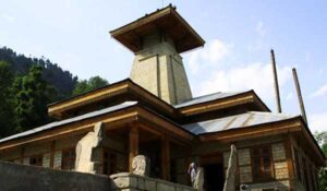
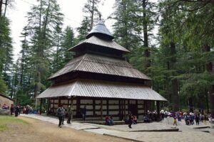
Besides being a popular hill station, Manali is also a place of cultural and religious significance. Hadimba Temple, built in 1533 A.D. and famous for its carved doorway is the most famous religious places in the region which also include Manu Temple, Vashishta Temple and several Tibetan monasteries. The Rahgunath temple, famous for its seven-day long Dussehra festivals is another prime attraction of Manali. Dedicated to Raghunath Ji, the temple was built in 1650 AD. The temple which is situated in a hillock also provides a panoramic view of Kullu valley.
Other major attractions in and around Manali include Rohtang Pass which is a high mountain pass on the Himalayas, Solang Valley which is well known as a destination for both summer and winter sports and Jagatsukh which is known for its old temples. Rohtang Pass is a famous mountain pathway connecting with Spiti and Lahaul. Laying amid a scenic landscape at the height of 4111 meter the pass is a popular picnic spot. Due to heavy rainfall in the winter the pass is open only during the period of May to September.
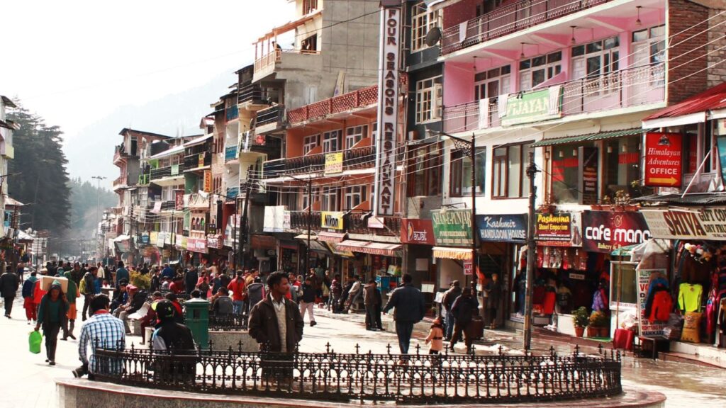
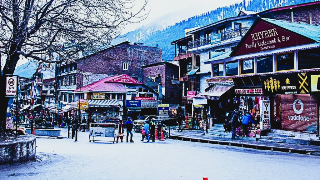
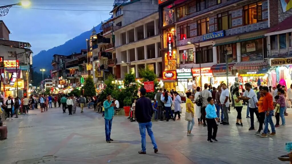
Manali Mall Road Photos where People can be seen in different seasons
How to reach Manali by different modes of transportation
By Air:
- The nearest airport to Manali is Kullu-Manali Airport, located in Bhunter, which is approximately 50 km away.
- Flights are available to and from Delhi, Chandigarh, and Jubbar-hatti (Shimla).
- The flight from Delhi to Kullu-Manali Airport takes about one and a half hours.
By Train:
- The nearest railway station to Manali is Joginder Nagar, situated about 160 km away. It has a narrow gauge track and is on the Mandi-Pathankot route.
- Kiratpur is another railway station, approximately 240 km away, located on the Kullu-Chandigarh highway.
- Una is another nearby railway station, around 300 km from Kullu.
By Road:
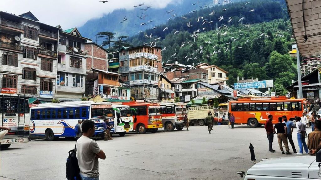
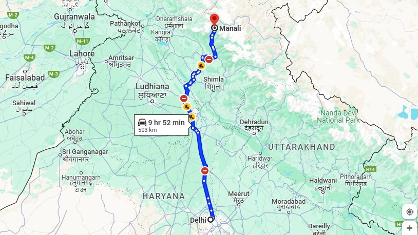
- Manali is well-connected by road to major cities in Himachal Pradesh and neighboring states.
- The Himachal Road Transport Corporation (HRTC) operates a fleet of buses, including Super Luxury, Luxury, Super Fast, and Ordinary buses, to major destinations.
- Privately operated bus services are also available within the state.
- Hired taxi services are easily accessible for local transportation.
This comprehensive transportation information provides travelers with options to plan their journey to Manali conveniently.
